Walking to Italy - Days 3 & 4 - Benediktbeuern - Wallgau - Scharnitz
Day 3: Benediktbeuern to Wallgau
We left Benediktbeuern after eating breakfast in the most ornate dining hall I've ever eaten in: think ornate plastered walls and ceilings, tall light-filled windows, dozens of tables with clean white linens.
On through the fields we tromped. The distance between us and the mountains was decreasing...
The fork in the road here was one of those places where our navigation app said "go straight." Komoot is pretty excellent, except when it isn't.
We crossed a mostly dry riverbed...
We headed toward Kochel, situated at the bottom of the gap between the mountains.
A statue honoring the Schmied von Kochel(blacksmith of Kochel) stands in downtown Kochel. The Schmied was a [probably fictional] folk hero famed for ramming the gates of Belgrade with a pole in the Great Turkish War and accepting no honorarium for it, and was supposedly the last soldier to fall during the 1705 Bavarian peasant uprising against imperial Austrian occupation. He's immortalized in Kochel, mace in hand and Loferl on his Wadln, by sculptor Anton Kaindl.
The Franz Marc Museum proved a handy spot for pit stop and postcard purchase.
A sculpture, "Gabelung," by Anthony Cragg, cast shadows on the hill below the Franz Marc Museum:
Photogenic clouds and swans on the Kochelsee:
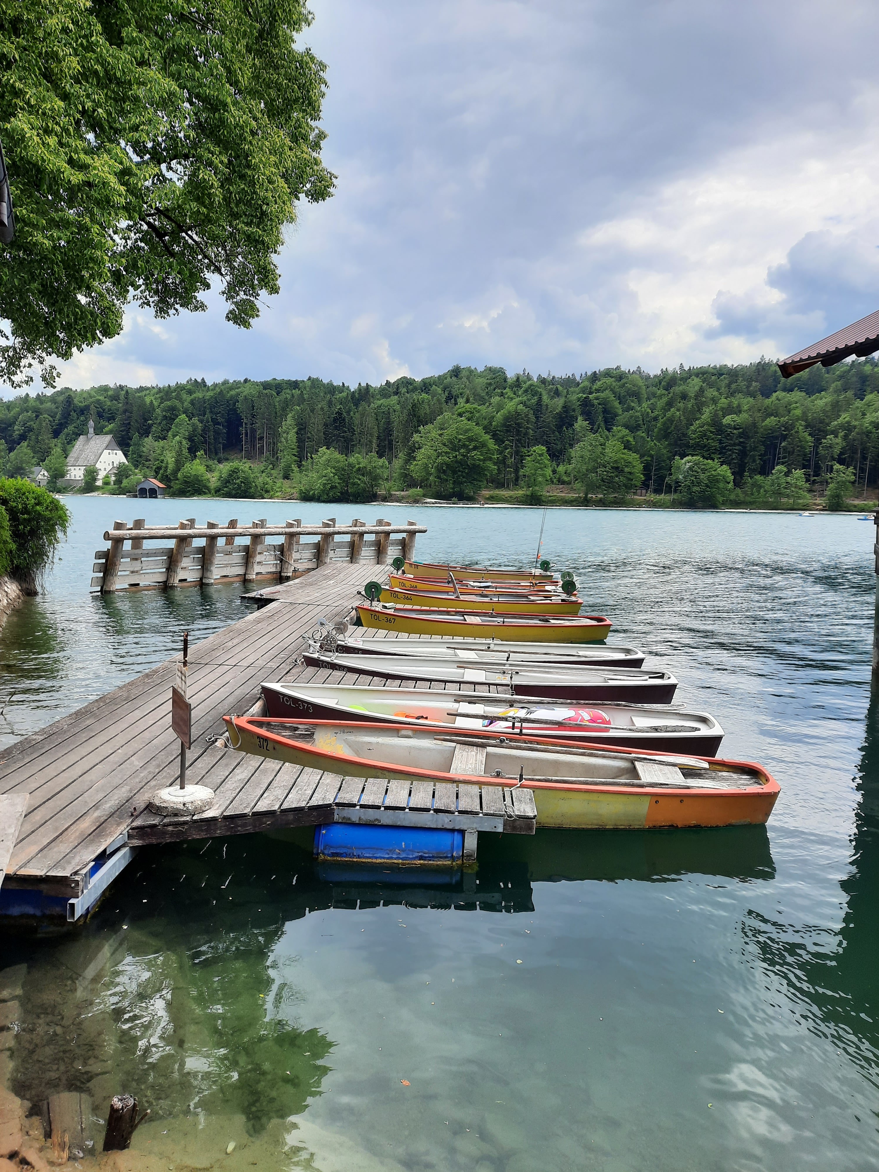
The Kochelsee lies below the Walchensee. To reach the Walchensee, we had to hike up...
...and up...
...and up...
...and up some more...
At the top of the series of waterfalls, signage adamantly advised us not to fall into the hydraulic system.
Noooooooooo!
After hiking up and up some more, we eventually descended to the radiant green-blue Walchensee.
We hiked several miles along the lake. It was a Saturday, which meant the road was flooded with traffic. We shared the narrow sidewalk with bicyclists, who understandably wanted to stay off the road with all the cars. It was a little harrowing. We paused in the town Walchensee for some lunch, grateful to get away from the road for a while.
This was our longest planned day of hiking. From Walchensee, we continued up up up into the Bayerische Voralpen (Bavarian Pre-Alps).
Weather in the Alps is local. Before heading into the downpour we could see just ahead, we paused to get out rain jackets and umbrellas--and by the time we were done doing that, the rain had stopped.
Goodness, gracious, great balls of wire!
Then it was up some more, until at last we arrived in Wallgau, smack dab in the middle of the 25th annual brass-band music fest.
Our route often overlapped with the Jakobsweg, the German trail network that channels toward Spain so pilgrims can link up with the Camino de Santiago.
Wallgau was lovely...
Among the treats were a pond for the ducks...
...a slide for the chickens...
...and, in our hotel room, the most welcome bathtub EVER for the humans.
After dinner, of course, we went for a walk. The bright blue canal carries water diverted from the Isar to generate hydraulic power before flowing into the Walchensee.
Music from the Bezirksmusikfest wafted up to us from the big white tent below.
Ta da! 20 miles hiked, ~2,250 ft elevation gain.
Day 4: Wallgau to Scharnitz
On Sunday morning, we lingered in Wallgau after breakfast to watch the parade of ensembles up to the hill above town for an open-air church service. This had been advertised online as a "Kirchenzug zur Puit" (church train to the Puit). We had no idea where this was, so we asked the waitress at dinner the night before: "where's/what's the Puit?" She was a little flabbergasted at the question. "The Puit--it's, you know, the Puit. It's, you know, the field--it's, you know, above town, the Puit--that way--oh, just follow the sound and you'll know where it is." So that's what we did.
The sound, actually, started at around 6am, with a rousing cannon boom and some band practice outside the window, to ensure the cannons and the embouchures would be working properly at 8:30, when the parade was supposed to begin. By 8:15, when we dashed out the door with our backpacks, ensembles were parading to the staging area...
...from where the location of the Puit became clear. We dashed in the opposite direction and up the hill behind town to find a good spot to watch the bands.
Every ensemble had its own Tracht (traditional garb).
We headed out of town before the church service. Pause #1 was to help a baby goat remove its head from some fencing.
Wildflowers were abundant:
Noch eine Kapelle...
To the east, views of the Karwendel, the largest mountain range of the Northern Limestone Alps:
This area of the Alps is notable for its Buckelwiesen (hump meadows), parts of which are designated Natura-2000 protection areas. The humps are thought to have been created by frost and karstification at the end of the Würm Ice Age. They're fragile and nutrient-poor, but species-rich; the protected areas are unfertilized and mowed by scythe no more than once per year.
My camera didn't do a great job of capturing these humps; each is ~2 meters long.
Wild orchid:
We paused above Mittenwald to rest and to admire the view. To our left, localized drizzle; to our right, clearing skies.
Mittenwald is famous for its long history of stringed-instrument building, which began in the mid-17th century.
Heading out of Mittenwald. Note the chicken atop the Maibaum:
A peek into the Leutaschklamm. The Leutasch River is a tributary to the Isar. The brilliant blue color comes from calcarous rock particles.
We followed the Isar south/upstream to Scharnitz.
The Germany-Austria border was unmarked on the trail, but somewhere around here...
Scharnitz, a northern Austrian border town, was...quiet. We assumed we arrived between the busy seasons. Here's the Church of Our Lady of Perpetual Help, which was founded during the Thirty Years War in gratitude for the Swedes never showing up. The current building was erected in 1796, damaged twice by fires, and renovated in 1954, so a relatively modern building by old-church standards.
This was the view from our hotel room when we arrived. The randomness of these lawnbots amuses me to no end.
After dinner, we stretched our legs with another hike.
On our way into Scharnitz, we had seen Burgruine above our trail. Hiking Rule 4--so obvious that it shouldn't need mentioning--was that when Burgruine are within walking distance, we walk to them. Thus we hiked up to Porta Claudia. Porta Claudia was built in 1632-34 to protect Scharnitz from the advancing Swedes during the Thirty Years War--although the Swedes never arrived.
It took until the early 19th-century for Porta Claudia to become ruins. In 1805, Napoleon's army, in alliance with Bavaria, captured it from Austria. In 1809, after ownership of Tyrol had passed to Bavaria, Bavaria blew it up.
Porta Claudia was situated to offer a good view of any Swedes who might be arriving from the north:
We meandered through the ruins, not exactly following any trails, and decided to descend this wall. This was a real feat for the acrophobe, whose foot placement was assisted by S.
Ta da! 13.7 miles walked, ~1460 ft elevation gain.


.png)


.png)

No comments:
Post a Comment