Tuesday, July 15, 2025

Rorschach to Lauterbrunnen - Day 2 - Gais to Berggasthaus Staubern

Sunday June 29, Gais to Berggasthaus Staubern

While we were eating dinner Saturday evening in Gais, we thought about our knees, the unanticipated strenuousness of that day's 4,100 feet elevation gain, and the 4,300 ft ascent planned for Sunday. We took a look at our map, and noticed there was a Seilbahn in (reltaively) nearby Brülisau that could take us to Hohen Kasten atop the Alpstein massif and knock 2,600 ft off our ascent. 

Between Saturday evening and Sunday morning, we mentioned this to three different staff members at the Gasthof where we were staying. They already thought we were crazy for having hiked all the way from Rorschach, and all three thought we'd have a much more pleasant time taking the lift than hiking all the way up. One reassured us that the hike to Brülisau itself wasn't exactly a walk in the park.

We didn't make a final decision until we were literally at the fork in the road: going straight meant hiking up all the way, while turning right meant hiking down to Brülisau and taking the lift. We turned right.

Evidence of spiders at work below the Faehnerenspitz

Can you spot Brülisau down in the valley?

We like to watch them, they like to watch us...

Hiking down to Brülisau, we noticed a natural arch in the rock wall to the south.

Can you spot the arch?


Entering Brülisau

Time for immersion therapy:


Unlike me, S is not acrophobic. I was happy to spare my knees the workout, but mostly kept my eyes closed on the ride up.


I opened them long enough to turn around and take a photo... 


From atop Hoher Kasten (5,875'), we had expansive views to the Bodensee to the north and the Rhine flood plain to the south.

The Rhine flows in tightly controlled channels in population-dense areas 

After admiring the views and pausing for a scenic lunch, we continued our hike. For the rest of the afternoon, we mostly followed the ridge, and alternated having views to the south and the north--and occasionally had views in both directions at once.


Water levels in the Sämtisersee were noticeably low...


Pasque flowers

iNaturalist says this diminutive thang is Great Masterwort

Our destination for the evening: the Berggasthaus Staubern, with views into the valleys both north and south of the ridge.


Room with a view

The inn is accessible by Seilbahn from Frümsen in the Rhine river valley, and a small crowd arrived around dinnertime. They stood outside chatting and taking photographs. Motivated by this potential audience, a paraglider sailed over and for a good 10-15 minutes provided an aerobatic performance just a few meters away.

Ta da! 6.87 miles and 1,923' elevation gain from Gais to Brülisau, and 3.25 miles and 1,083' elevation gain from Hoher Kasten to Staubern.


Rorschach to Lauterbrunnen - Day 1 - Rorschach to Gais

Saturday June 28, Rorschach to Gais

The best laid travel-by-German-trains plans went awry. We were supposed to arrive in Rorschach by 10:18am, but delayed trains and police inspections at the Austrian border meant we didn't start hiking until after noon.

6:16 a.m. at the Steinebach Bahnhof

We skedaddled uphill from the train station, then realized we should stop at an ATM to pick up some Swiss Francs. That was followed by another quick stop at a convenience store for some yogurts (lunch? what's that?) before we finally headed out of town. The first thing we learned about Swiss trails is that more often than not, they're direct: who needs switchbacks when you can just march straight up or downhill?


Most of this initial stretch was through farmland. We passed a cat in a field; I initially thought it was dead, but it turned out simply to have the most relaxed lifestyle and bucolic views imaginable.


We saw a lot of Rotmilane (red kites), including birds flying together in flocks rather than solo. We had views of them from below, and as we climbed higher, eventually from above.


Early on, we had views of five countries at once: Switzerland, Liechtenstein, Germany, France, and Italy.


The steep climbs necessitated retying hiking boots...

In Rehetobel, we paused for some Mineralwasser and Steckerleis ("ice-cream on a stick")... 


...and for a splash of water. Switzerland was in the middle of its second June heat wave, wrapping up its second hottest June on record. 


Shortly beyond Rehetobel, we passed our first Swiss honor-system-payment art shack...


...from which I regret not having purchased a fluffy companion chicken for Carly (lining the top shelf in the photo below). This is easy to write in hindsight, but at the time, I didn't want to add unnecessary weight to my backpack.


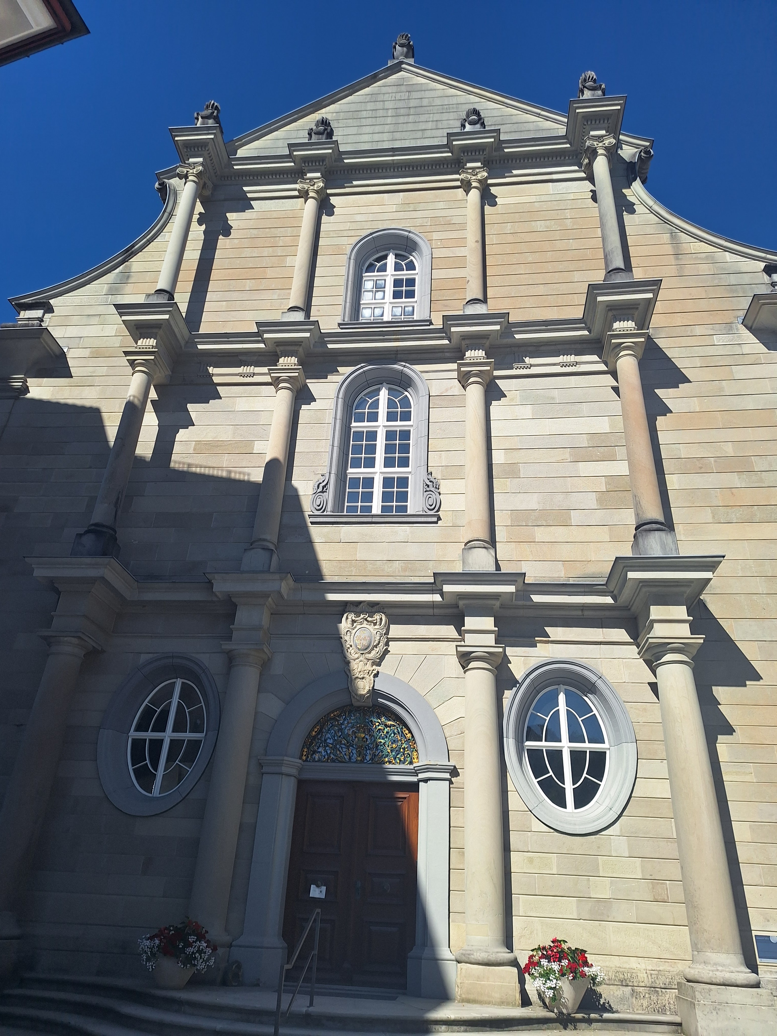
Some of the loudest church bells I've ever heard accompanied our hike uphill to Trogen for a good half mile or so. The church was built between 1779 and 1782 and has six bells, ranging from a wee 92kg Henkelgloecklein ("li'l bell with a handle") cast in 1465, to a massive 5032kg Landsgemeindeglocke ("rural community bell") added in 1958. In 2009, a 10-year community dispute over decibels reached a compromise, with the church covering the bell tower with larch wood to bring the volume below the 60 dB legal maximum.


Also a delight in the church: an organ front and center...


...with an empty choir loft in back. Photographic evidence indicates it has been thus since at least 1894.


We passed through Trogen a little after 5pm, and it took another hour and a half to reach the top of the the Gäbris, our highest elevation of the day at 4,045 feet. There, we enjoyed our first views of higher mountains to come... 


...before descending to Gais, our destination for the night.

Ta da! 12.7 miles and 4,157 ft elevation gain. Our first day was more strenuous than anticipated, perhaps a combination of the heat, the late start and insufficient lunch, and the frequent steep, straight-shot-up trails. I comfortably walked all of the first day in sneakers.


Rorschach to Lauterbrunnen - Overview

Here's what we planned:


 ...and here's what we hiked: 


In sum, 15 days from Rorschach to Gündlischwand (3 miles north of Lauterbrunnen), 170 miles, 42,000 feet ascent, 47,000 feet descent. (We ended 850 feet higher than we started, but incorporated more lifts up than down.)

Ominous weather forecasts twice had us devising backup plans involving buses, but in the end we managed to stick with the Rules of Walking:

1. No wheels allowed (no cars, no trains, no bicycles, etc.), except to return home at the end of the trip or in emergencies.

2. No elevators. You just hiked 15 miles: you can take the stairs. 

3. The Acrophobe's Exception: means of transportation that might unnerve acrophobes are allowed, specifically ferries, funiculars, and ski lifts.

We availed ourselves of 5 gondola lifts (3 up, 2 down) and one funicular.

We stayed in 4 huts, 1 youth hostel, and 9 hotels.

I planned our route on Komoot. For better or for worse--well, clearly for worse--Komoot was sold in March 2025 to the Italian company Bending Spoon, and the program has diminished in quality in obvious ways since then--including dropping all of the highlight pins from my maps when accessed via the website rather than via the app. Access the route via the app if you have it (although there are now problems with pinned highlights there too), or contact me for deets if you'd like them.

Much of the time we hiked along the Via Alpina, which runs through the Alps from Trieste/Slovenia to Monaco. This wasn't intentional on our part, but we're eager to learn more about the 2000-km trail. In addition, we met someone just below Grosse Scheidegg who recommended the Via Francigena, a 3000+ km pilgrimage route from Canterbury to Rome. Lots to mull for future hikes.

We tweaked our route as needed, occasionally going around when through was blocked, sometimes trading paths through fields for paved roads on hot days when the horse flies were at their worst (mosquitoes : Bavaria as horse flies : Switzerland), finding gentler descents when our knees needed them, and being intelligently cautious when thunderstorms loomed at higher elevations. 

We had three days with trail sections that were quite exposed, unnerving the acrophobe--but she lived to tell the tale.

Our highest elevation was 7,475 feet, near the Jochpass above the Engstlensee, on a cold and graupelig day.

Heading up up up through pelleting snow...

Our lowest elevation was 1,300 feet in Rorschach, our starting point on the southern shore of the Bodensee (Lake Constance) on a toasty sunny day.

Already up hill...

Items schlepped were similar to last year:


From left to right, more or less: 

Source 2L water bladder. Last year I thought we should have water purification drops on hand, but we forgot to buy a bottle, and we never needed them.

Sun hat, fleece jacket, Patagonia rain jacket. Last year we also brought down jackets and never used them. This year, even when we were hiking in snow showers, we were fine layering up without down. 

Carly the Travel Chicken, Carly's duck feet and deflated bubble pack; compact umbrella; second pair of socks. Last year I had a third pair of socks that turned out not to be needed, so I cut back this year--only to discover one of the socks I brought had a big hole in it. Lesson for next year: check for holes before packing.

REI hiking pants with zip-off lower legs, long-sleeved 32-Degrees Warm shirt, wool T-shirt, sports bra, underwear, sleeveless polymer T, thin fleece mittens with water-resistant tops; Komperdell hiking poles with tip covers, toiletries bag, Anker charging battery. The clothes were to alternate with the set (not shown) that I set off with: Lowa Renegade GTX MID women's 42 hiking boots, another pair of REI zip-off-calf hiking pants, socks, underwear, sports bra, and 32-Degrees Cool T-shirt. The wool shirt proved great alone and for layering. 

First-Aid kit, mylar emergency blanket, bivy sack, Cliff Bars, rain pants, Hüttenschlafsack, backpack rain cover, Kula Cloth, comb, sunscreen; sneakers. We were careful not to overdo the snack bar quantities this year.

Not shown: women's Deuter Speedlite 28SL backpack, cellphone, Garmin Venu 2 watch, charger and charging cables, passport, wallet, two dehydrated laundry detergent sheets, and a few iterations of salted mixed nuts, new-to-us Swiss hazelnut Staengeli, and apples. S did not carry micro spikes this year, but given the snow we encountered, they'd probably be smart to have on hand.