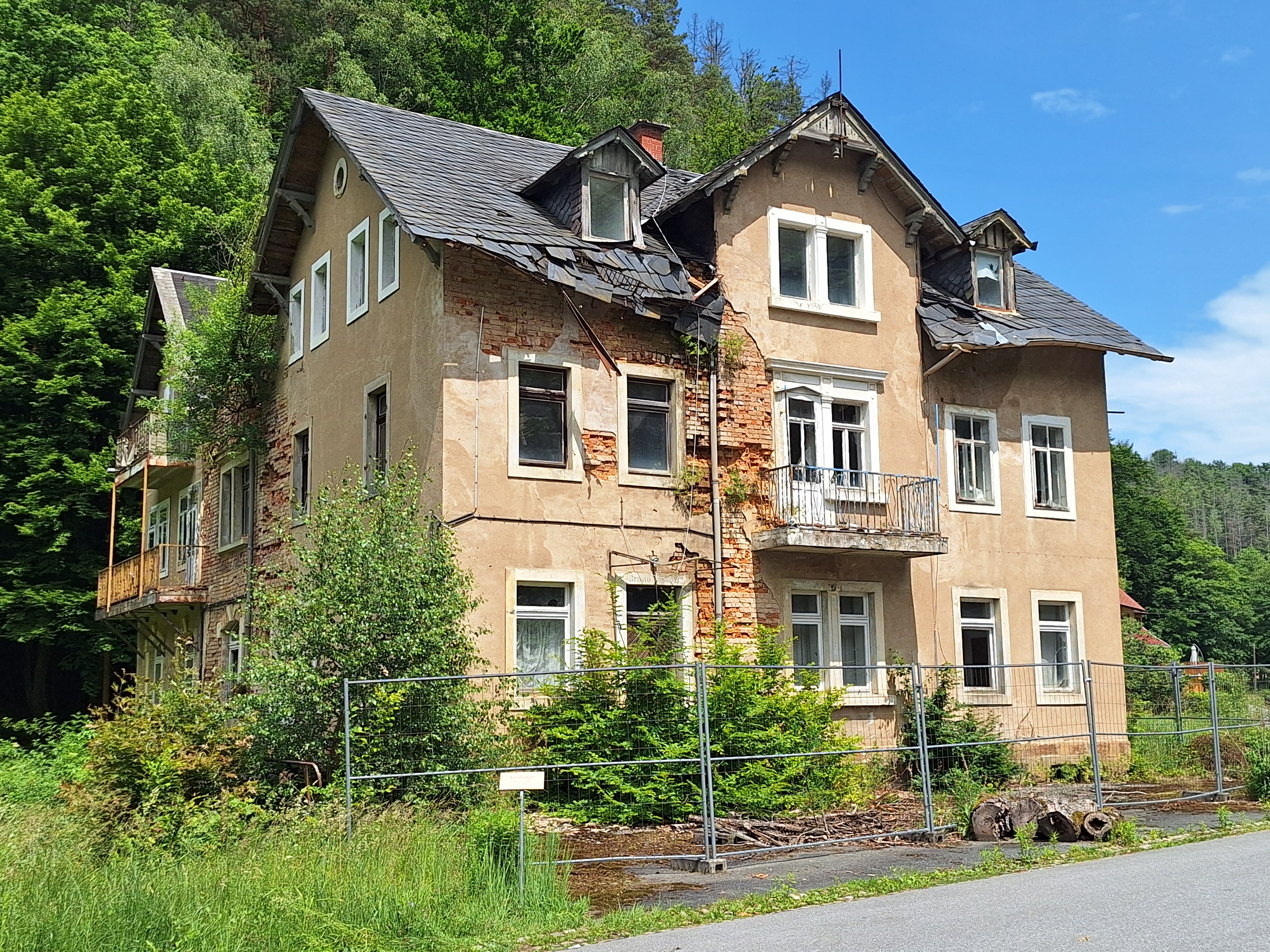
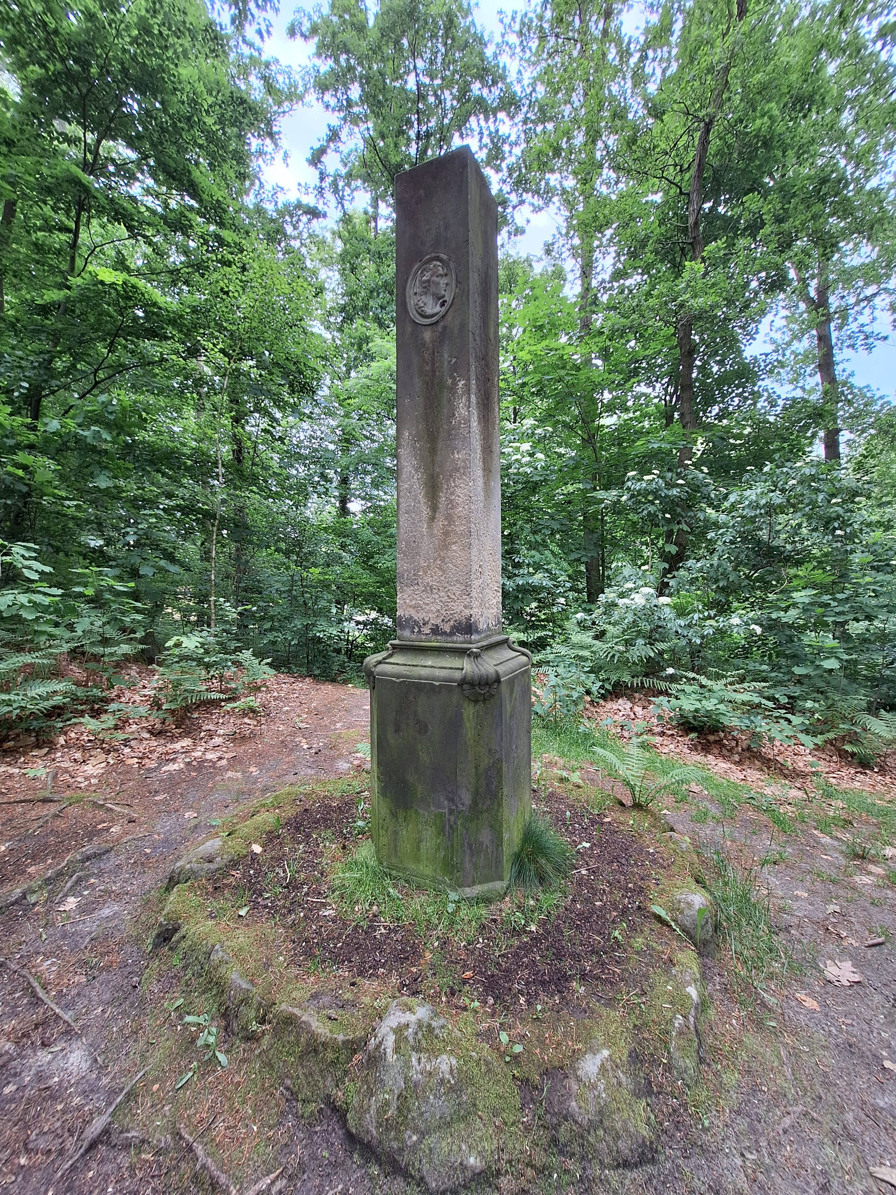
Just outside town, a person walking a dog headed toward me. He looked me and my backpack and asked if I was hiking the Malerweg, because if I was, well, everyone likes all the stairs on the steep trails, but they can be slippery, and the route over there gets you to the same place down below and is much prettier and doesn't have stairs and is only a little longer.
I pulled out a map and saw how the other trail intersected down the hill with the Malerweg. "I walk here every day," he continued, "and the upper route really is much nicer. I'm not telling you what to do, but you should really take the upper route."
In general when locals stop me to say "don't go this way, go that way," I figure they're either serial killers who want to lure me to isolated places OR they know the local terrain better than Komoot does; so I took another detour off the Malerweg and went that way.

It didn't take long to catch up to the Malerweg down below in the Kirnitzschtal*. From there, the trail led up to the Schrammsteine massif, a long plateau with several exciting rock formations and peaks.


 |
| Looking across the Elbe to Zirkelstein and Kaiserkrone |

This hiker preferred to go barefoot:


Bark beetles are a scourge, but they chow down in interesting patterns:


About halfway into my hike, I passed the Kleines Prebischtor ("Little Pravčická Gate"). The name is in contrast to the non-adjectival Prebischtor further east in the Czech Republic--the largest natural sandstone rock bridge in Europe.
 |
| Kleine Prebischtor |
Note the Barefoot Hiker under the arch for scale:


Further along the Schrammsteine, the Kreutzturm is a popular spot for climbers.

 |
| Can you spot the climber? |
The Malerweg then descended again into the Kirnitzschtal and passed through Lichtenhain. The teeny tiny town was bustling with tourists, a surprise given its small size, but this is in part thanks to the Lichtenhain Waterfall, a tourist attraction since the 1830s and the terminus for the Kirnitzschtalbahn tourist tram that runs through the valley all the way from Bad Schandau.
 |
| Waterfall is to the right of the hobbit smial |
Tourists clearly need an automat to provide DDR-style soft serve 24/7:

Lichtenhain is a starting point--and probably has been since the 1830s--for several popular hikes...

...including the route up to the Kuhstall, the second largest natural sandstone bridge in the Elbsandsteingebirge after the Prebischtor.

 |
| https://www.saechsische-schweiz.de/malerweg/en/interesting/art-along-the-malerweg/johann-carl-august-richter |
To the left in the images above is a gap in the rocks through which you can access the outside of the arch; and from the outside, there's a stairway built into a gap in the arch called the Himmelsleiter ("heaven's ladder"). The stairs are quite narrow--the better to allow foot-sized gaps to fall into to the right and left. This here acrophobe declined to ascend, and thus missed the apparently spectacular views of the Schrammsteine from the top of the arch. A series of staircases allows hikers to descend from the other side, keeping the traffic one-way.
 |
| Not for me. |
From the Kuhstall, the Malerweg descended...


...back into the Kirnitzschtal, and eventually to the Neumann Mühle hut, where I had a mattress waiting for me in a room of 28 mattresses.

Late lunch: Kartoffelpuffer. I've had Puffer in Bavaria before--basically potato pancakes--but the ones at the hut were like sweet, onion-less latkes, served with whipped cream, applesauce, and powdered sugar. Lecker.

Additional things I learned about at the hut:

Hey kids, you might be able to speak Hochdeutsch, but can you speak Saeggs'sch? It's always good to know a few words in the local dialect! Now build a conversation using the Saxon words listed below.

 |
| Ta da! 12 of the day's 17 miles |
The hut's restaurant was closing early, so I had an early dinner, then set off for a backpack-less hike in search of mobile data, so I could check in with S.


 |
| Poor piggy! African swine pest info in six languages |


 |
| Ta da! Another 5 miles. |
BTW, I hiked the entire Malerweg in sneakers. They were thoroughly up to the job and more comfortable than hiking boots, although going back and forth to Dresden gave me ample opportunities to grab my hiking boots had I decided I needed them.
*I'm fascinated by the name Kirnitzsch. Is that a vestigial -z- between the -t- and the -sch? I asked S how to pronounce it, and he blandly said "KEER-nitch." But what about the -z-? "What about it? KEER-nitch." Why's the -z- in there? I decided to ask Google to pronounce it. Among the multiple only-incorrect answers it offered, this was the best of the worst: