Friday, May 6, 2022

Bayern hike photo dump 5: Zell to Wertach

Tuesday 4/26

Once again, the forecast said rain--and this time it looked likely. I was glad to have hiked up to the ruins the day before, and I skedaddled out of Zell after a quick breakfast.


My route passed through Kappel, which, like Zell, also had a church with one shingled wall:


From Kappel, I headed up into the woods, past an engineered waterfall.


Apparently a sufficient number of clueless tourists hike through the hills above Kappel that it was necessary to post some bilingual guidelines for how to behave around grazing animals. Auf Deutsch for the German speakers, obviously, and in English for everyone else.


The woods were brilliantly green with moss.


I thought this tree looked particularly amorous.


As with the other highly curated trails, this one made life easier for both hikers and native plants. 


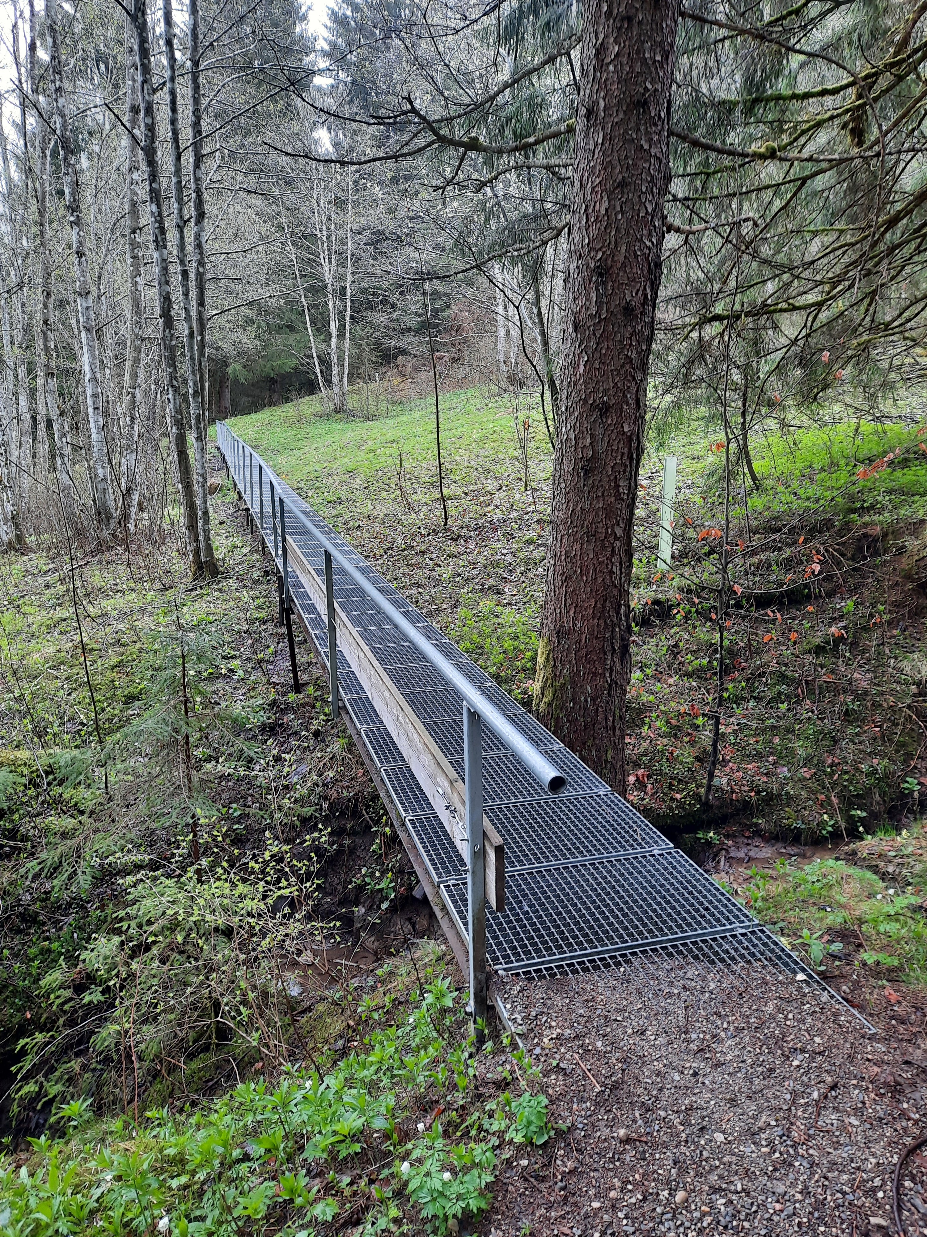
I was not expecting another steep-sloped up and down hike. Photos don't do justice to the angles...
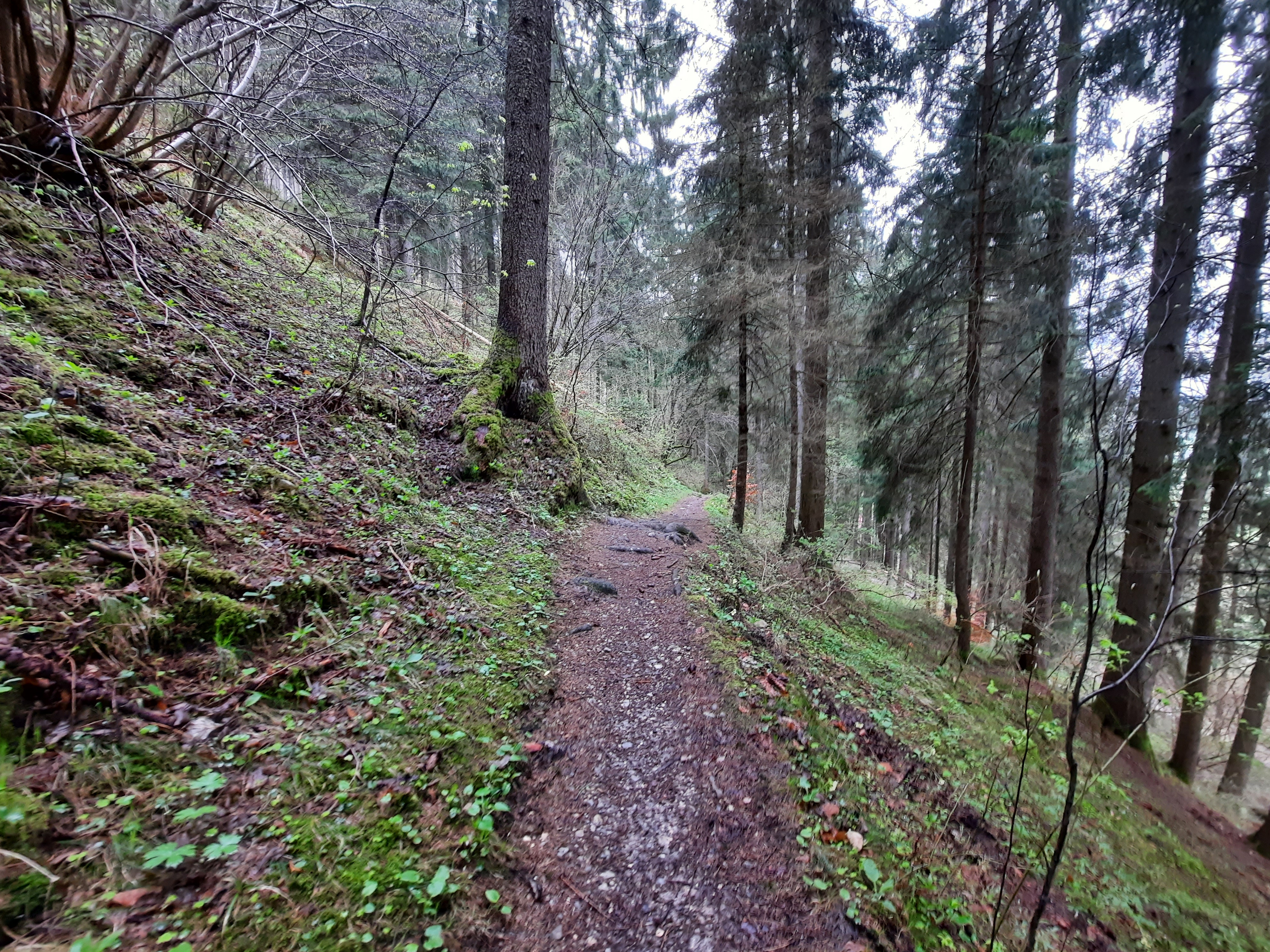


Apparently the steepness made for excellent ski jumping back in the day. 
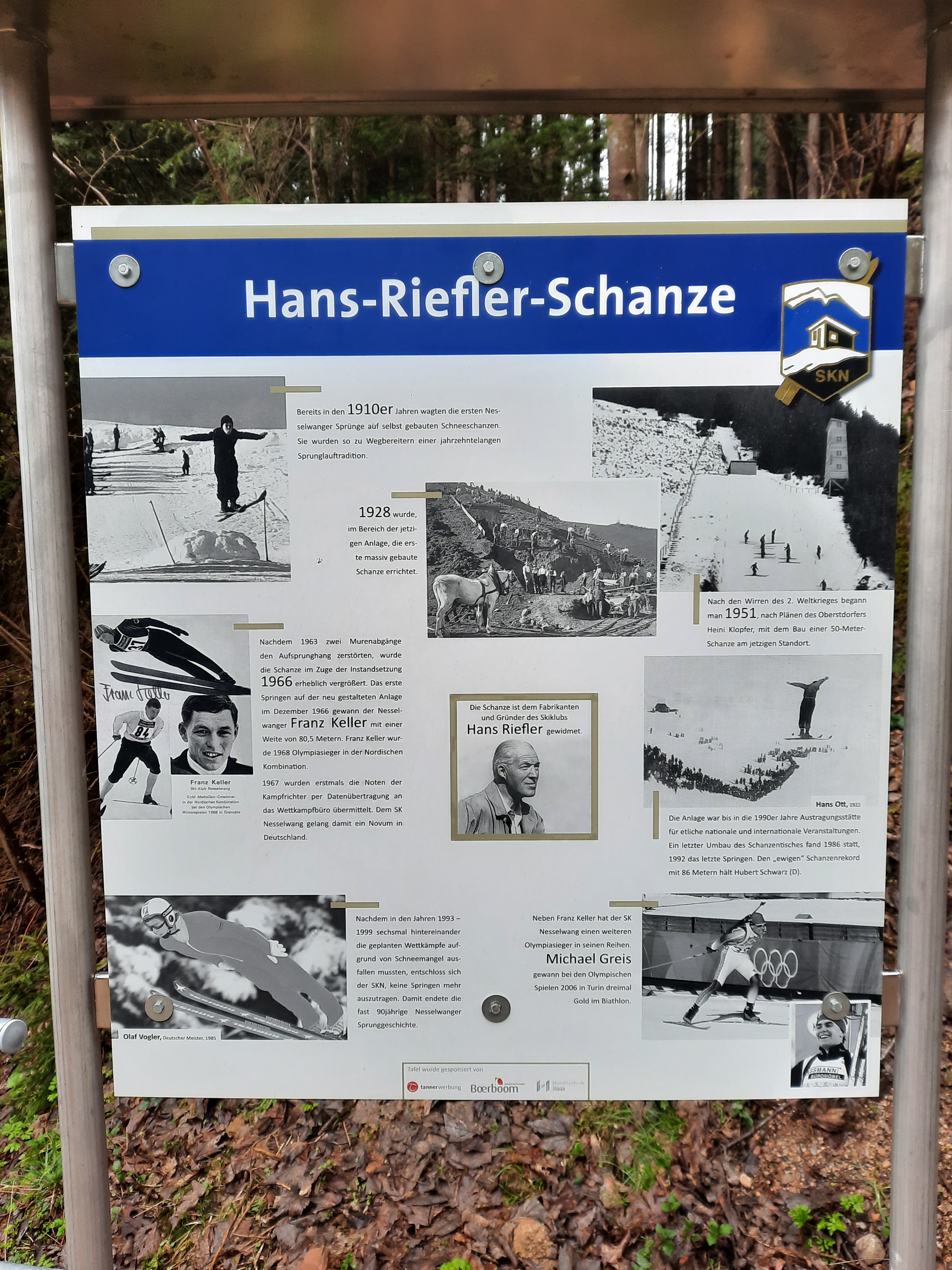
Hans Riefler was a co-founder and long-standing chair of the Nesselwang ski club.

No ski jump here anymore, but perhaps folks still ski down.


The trail continued, with lots of assistance:


After I'd had just about all the up-and-down-and-up-and-down I could handle, the trail led down into Nesselwang (which I kept mistakenly calling Nassenwang, because it was a damp day). Nesselwang was clearly a ski town, as evidenced by this ski lift that goes up into the clouds somewhere:


My original route didn't go through town, but a church-truffle beckoned from afar. Despite the looming clouds, I made the detour.


Most towns have memorials to their war-dead. Nesselwang lost a large number.


My favorite part of the church was the front door.


Check out those wee cherub feet dangling over Jesus and Satan:


The interior plasterwork was impressive: the roses surrounding the ceiling paintings were all 3D.


The clock says "time is short"--a lesson that may or may not seem plausible during long sermons. The marbled columns on either side of the clock are painted wood, a materials practice in all of the churches I passed through on this trip, since paint is less expensive than real marble.  


A bench across from the church:


As I headed out of Nesselwang, it finally started to rain. Like, really rain. First hail, then wind-in-your-face pelting rain, then a little snow and sleet, because why not. 

My planned route was to follow the edge of the Gruentensee, yet another reservoir. Instead, just as I was heading away from the freeway toward the lake, a clap of thunder convinced me to backtrack to the nearest eave in Reichenbach, where I waited until the threat of lightning had passed. I then stuck to the path alongside the freeway for the last 3.5 miles into Wertach.

The sign on the locked hotel door said it was a Ruhetag and that they'd open at 5pm, but I phoned and told them I was outside and soaking wet, and they kindly let me in early.


An hour later, after I washed my soaked clothes in the sink and took a hot shower, the sun came out. So I went for another walk.

The day's hike taught me that neither my doubly waterproofed boots were not waterproof. Nor was my waterproof rain jacket. Stefan had lent me his waterproof pants, which were actually waterproof.


Because churches are often on hills, they make good initial destinations. See how bright and blue the sky is?


I continued uphill, seeking some mountain views...


...and then the sky rapidly clouded over again... 


...so I turned around, headed back past the dandelion-fueled cows...


...past the church (compare the sky to the church photo above taken 45 minutes earlier)...


...and got back to the hotel just before the skies opened up again. This was excellent timing, because I had no rain gear with me, and no dry clothes left other than the ones I was wearing.

My favorite window in my hotel room was a skylight in the bathroom--a built-in weather report.


Ta da! I was glad this was a short day--12.3 miles (plus 4.2 more after the sun came out). 


Walk to Breisach

I interrupt the Bayern hike photo dump yet again to blog about walking just short of France the other day for the sole purpose of being able to say (eventually) that I walked all the way across southern Germany.


Why not cross the border, when I was so close? Because I've done it before, and it wasn't exactly scenic. But my route from Freiburg to Breisach had varied and appealing scenery to offer.

I started from our home-away-from-home-away-from-home in the Vauban neighborhood of Freiburg:


Trash cans! I photographed this to note that in Germany, trash is separated into paper/cardboard, lightweight packaging (plastic wrappers, composite materials, aluminum foil, etc.), residual waste, and COMPOST. People compost here--and not just people with space in their backyards. Glass and plastic bottles usually have a cash deposit, so people return them to stores for recycling.


Have I already mentioned that Germans take water management seriously? Why yes, yes I have.


Komoot had a really really hard time pronouncing Zum Tiergehege Strasse (roughly, tzoom teer-geh-hay-geh shtrahsseh) as though it were English, so it said "zumm teersh strass" and then gave up.


Bicyclists for scale. These were tall trees. 


The dandelions were tall too. Several were over two feet tall. 


Wood art by sculpture artist Thomas Rees, near Waltershofen. I happened upon a trail near our apartment yesterday with a whole slew of his work, and will include photos of those in a later post.  


Exiting the woods, I learned that flowers are the smile of the Earth:


I stopped in Waltershofen to tank up: strawberry cake and a pumpkin-seed roll. I forgot that rolls in Baden-Wuerttemberg are called Broetchen rather than the Bavarian word Semmel, but the proprietor politely clarified by asking if I wanted the pretzel shape or one of these here **>>Broetchen<<**.

I ate it before I thought to photograph it.


From Waltershofen, I hiked over the Tuniberg, through terraced vineyards... 


The first trail sign I saw for Breisach...


According to tourist signage, archeological evidence dates viticulture on the Tuniberg at least as far back as Merovingian and Carolingian times (6th-9th c. CE), likely introduced by Romans expanding the empire north of the Alps.


The first view of Breisach--that hazy hill on the horizon in the center of the photo below. This was actually the only view until I was in Breisach itself, since trees and hills are hard to see over...


Past Merdingen, I passed this prepped farm field. As a kid from central Illinois, fresh from watching field prep in Bayern, I was struck by how light and sandy the soil is here.


Outside of Ihringen, I thought I must be passing a farm where pigs were being abused, but it turned out to just be a ditch full of horny frogs:


I was facing west for most of my hike. When I eventually turned around to look east, I understood why rain was in the forecast.


Bayern is beer country; Baden-Wuerttemberg is wine country:


In Breisach:


Before heading up to the Muenster, I spent some time outside of the old city walls looking for some Jewish history. This city website has a helpful historical summary. Much more detailed information can be found on the Blaues Haus website; the house itself was closed on the day I was there. 


A Stolperstein made of stone rather than bronze. Michael Eisemann was the last cantor in Breisach. Breisach had a long and heated debate about whether to allow Stolpersteine; the city eventually signed off on the project, but I wonder if the Blaues Haus community got tired of waiting and installed this one on their own.


Walking up the hill to the Muenster, I passed these mementos of death--artillery from wars dating back to the 1600s. Being on a hill above the Rhein makes a town a great target when empires fight.


The St. Stephen Muenster plaza...

Europa greift nach den Sternen by Helmut Lutz


Death working hard at war:


France is on the other side of the Rhein:


Breisach's Hexenturm was destroyed in 1675, but here's a lovely model of the tower where women accused of witchcraft were imprisoned, tried, tortured, and often executed. (Does it bother anyone else that many websites say "suspected of" rather than "accused of," as though some of the accused were actually witches?)


In Breisach, I hopped on a train back to Freiburg, then walked home. This fearsome dragon is hanging out on the St. Georgen bridge over the Dreisam river.