I failed to mention in the previous post that Rifugio Petina had the best Linzertorte S or I had ever eaten. Better than Linzertorte from Linz, which isn't saying much--but also better than Tante Puppi's, which is saying a lot. We shared this opinion with the proprietors, who were flattered to hear it, which is reminding me to mention that they were above and beyond kind and welcoming to their guests. It was a cozy place to stay, and Sunday turned into the rest day we had missed in Pozza di Fassa.
On Monday, after genteelly ingesting mostly empty carbs, we headed downhill again toward Siror. We took a different road than the day before, and lo--it was not raining!


Siror and Transacqua and a few other villages filled the valley below.


After much zigging and zagging, we reached the valley, then followed a river greenway to Fiera di Primiero. We passed a dog park with a very long list of rules.

Altstadt Fiera di Primiero had banners up celebrating the Giro d'Italia, which had passed through town in May.

We stopped to buy some local apples at the kind of fruit shop that is becoming increasingly rare--one where only the proprietor may touch the fruit--then continued up the road to the Palazzo delle miniere--a 15th-c. palace built when mining was a thriving medieval industry.

Peeking through a metal gate at inside the crenellated walls:

Among the neighboring buildings is the Pieve di Santa Maria Assunta and its rectory and baptistry.
 |
| Rectory exterior |
 |
| Organ dates from 1900 |

Pretty sure this fresco depicts a unicorn being tamed by a virgin:

Then it was up the hillside a bit for a more nature-themed walk to the next village in the valley. The trails were always well blazed, sometimes with stakes, other times with blazes on house corners or walls.

We had a good view across the valley to the gorge we'd be hiking up later:

We descended into Mezzano, a town known for the wood art that decorates many of its buildings. The first and largest work we passed memorialized the 1966 flood that devastated the town. L'Aluvion, by Marco Baj, is built on a large retaining wall.


La Notte in Sogno by Erica Schweizer:


From Mezzano, we hiked along the hillside again, to the next village, Imer...

...then crossed the Noana valley and headed up into the gorge:

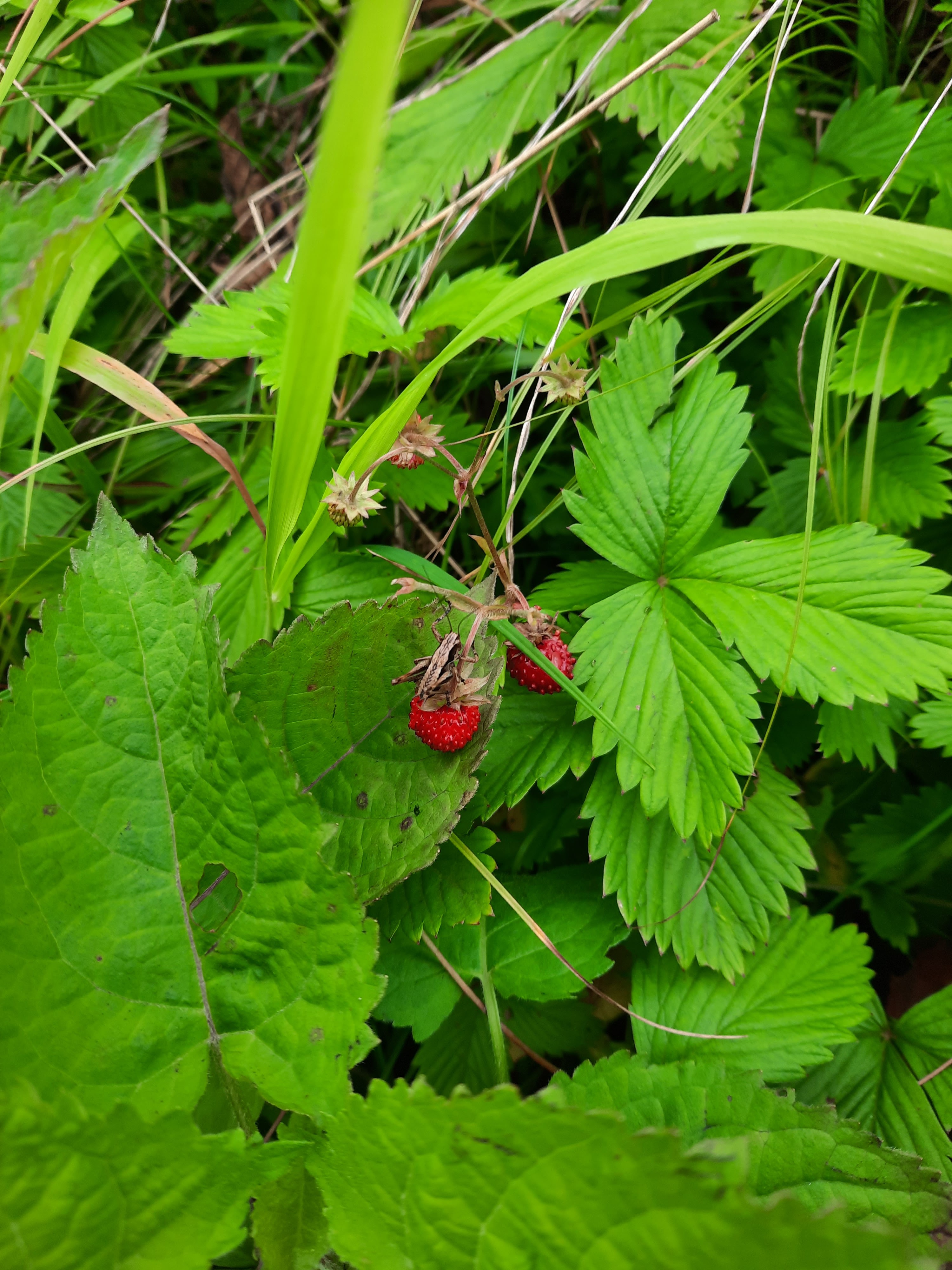
Early on, we passed abundant wild strawberries. Zoom in to see the cricket enjoying these.
The trail was a WWI military road built by the Italian military to defend its territory in the Dolomites. The rocks that served as pavement were mossy and slippery, so we walked mainly on the less slippery leaf detritus along the edges.

Looking back at Imer:

And looking up the gorge:

Note the very tall waterfall below: the Cascata del Salton. Water runs all the way through the gorge--which is why there's a gorge. This particular section was a ~25 meter drop, but I was pretty confident there would be an easy way across it, if necessary, given that we were on a former military road.
 |
| The log basin is perhaps for watering thirsty horses or dogs |
There was a solid bridge below the waterfall, and then an opportunity to go through a tunnel...

...that had a cave to store equipment.


The road then had a lot of short switchbacks, but no additional water crossings.


There had been a sign well below the waterfall--before we knew there would be a waterfall--saying no pedestrians allowed, and we thought, hmm, wonder why, and went up the road anyway. At the waterfall, we ran into other hikers coming down, so didn't think anything of it; and above the waterfall, there was a sign prohibiting pedestrians from descending from above. Hmm again, since komoot.com had sent us on this route.
Shortly beyond the upper no-pedestrians sign, we came across this one, directed at hikers heading down.

Thanks to the wonders of modern technology (uploading the photo to Google drive, opening it with Word, then using Google translate to convert from Italian to English), we now know that in 2016, due to landslides affecting and continuing to threaten the "bridges" section of the road, the road had to be closed to vehicular and pedestrian traffic, although the parts of the road below the bridges were deemed relatively safe and passable.
That was eight years ago; the whole thing seemed passable to us on June 24, 2024.
Above the falls, the road continued into a long stretch through meadows...

...which we followed to Rifugio Vederna, our stop for the night.
Balcony with a view:

Cowbells in the dining room:

Rifugio Vederna was our first refuge where the host spoke only Italian; German and English could no longer help us, but S's Spanish could. Consequently, we were able to pause for a piece of cake and tea/coffee, and to borrow an outlet for charging our devices.
Before dinner, we headed out for a backpackless hike in the sunshine, uphill, of course.
 |
| Monte Pavione--we'll climb it tomorrow |

The road/trail ended abruptly in a part of the woods that had recently been chopped up, presumably to prevent bark-beetle spread. We ended up scrabbling up the hill to get over the crest, where we then joined another road. This took us to the top of Monte Vederna.
Look to the south: the end of the Alps!

Not this way--the Alps don't end this way.

We followed the road at the top all the way back down to Rifugio Vederna.


Dinner, for the third night in a row, included polenta with a huge puddle of melted local specialty cheese. In this genre, we had to give the prize to Rifugio Petina's haloumi-like non-puddly cheese the night before, and we hoped that as we approached the end of our trek, we might find other genres of alpine dining.
Ta da! 13.4 miles, 3,825 ft elevation gain, mostly from here:


No comments:
Post a Comment