Friday, June 3, 2022

Querweg photo dump 3: Titisee to Schattenmuehle

Thursday May 19:

On the third day of our hike, we continued another 350 height meters up from Titisee, then gradually descended down into the Wutach gorge. The interwebs say the Wutachschlucht is the longest gorge in Germany; it is sometimes called "the Grand Canyon of the Schwarzwald"--bless its heart. Other German Grand Canyons include the Bastei rock formations near Dresden ("the Grand Canyon of Germany") and the upper Danube valley (Obere Donautal, "the Swabian Grand Canyon"). (To be fair, there are numerous Grand Canyons of [insert state name here] in the U.S., including the Grand Canyon of North Carolina [Linville Gorge]. Bless its heart too.

But I'm getting ahead of myself. We had to go up before we went down. From a paragliding launch field, we had a great view down towards Titisee:


As we crested the peak and began our descent toward Kappel, we were reminded that borderlands tend to have bloody histories:

To the memory of the Austrian and French soldiers who perished on 4 April 1799


Komoot led us along the neatly mowed edge of a farm field...


...that ended abruptly with an electric fence and a herd of grazing cows...


...so we found an alternative road into Kappel. Kappel is one of those small German ghost towns where people have lived for centuries (documented since 1275), but hardly a soul is to be seen on the streets during the day. (I know, people work during the day--but Kappel was eerily quiet.) 

The church in Kappel had the same weathered-shingle aesthetic as those I'd seen in the Allgaue on my Bayern hike:


We found a bench to sit on for lunch on the eastern edge of town, across from a field of wildflowers.


We suspect Kappel is much livelier when tourist season kicks in, as it's the gateway to the Wutachschlucht. As we headed out of town...


...the Querweg blaze was joined by the Viaduct-and-Gorge-Tour blaze.


The Haslach and Gutach rivers both drain into the Wutach.


The trail descended down switchbacks into the gorge, then continued up and down the cliff walls along the Wutach river...


All of the bridges this day and the next received the Acrophobe's Seal of Approval:


The covered bridge shown below is only about 95 years old, and has been renovated multiple times--but written records of a bridge at this location date back as far as 1254 CE.


Vinca minor in its native habitat is much more robust than as an invasive species in the U.S.:


Our stop for the night was the Schattenmuehle, which is situated right on the Querweg. It's a little grungy and overpriced, but stopping here meant we could say we had traveled our entire trek by foot. 

The Schattenmuehle's napkins feature a photo of the proprietor in very short lederhosen. Scheen dass 'er do sin! An Guata! = Schwaebisch for "Nice that you're here! Guten Appetit!"


Wednesday, June 1, 2022

Querweg photo dump 2: Buchenbach to Titisee

Wednesday May 18:

The theme of the day was "up"--about 890 height meters climbed between Buchenbach and Titisee.  


Look, it's my friend the Jakobsweg, joining the Querweg for a while.


When you go up, you get views down:


We kept saying "this is probably going to be our last view of Freiburg," and then we kept getting more views of Freiburg.


When humans and trees interact, you end up with smiley faces:


This rock made us smile too. We left it for the next hikers to enjoy. 


Our lunch spot: a bench with a view. The mountain in the distance is the Feldberg (1,493 meters), the highest mountain in Baden Wuerttemberg, and the highest mountain in Germany outside of the Alps. You can't see it in the photo, but there was still snow in a few spots on top.


Heading down into Hinterzarten, we passed a fine lone tree.


After a much needed ice-cream stop, we headed back up past the ski jump tracks on the other side of Hinterzarten. 


Hinterzarten struck us as a charming but touristy town, until we descended down to Titisee... 


...the "healing-climate spa town," overflowing with tourists (who magically evaded being included in this photo).


The Titisee is a small glacial lake that was likely first settled ~700 CE. The tourist boats came later.


Titisee is well within Freiburg's regional train service area, so Stefan braved a series of broken and delayed trains to meet us for yet another ice cream cone that evening. That was the last time he met up with us until we ended our hike in Ueberlingen.

Ta da!

Querweg photo dump 1: Freiburg to Buchenbach

Freiburg to Bodensee mission accomplished! Elias and I followed the Querweg for seven of our eight hiking days, then decided to veer completely off in Steisslingen to hike our way to Ueberlingen rather than taking a ferry from Wallhausen. In total, we hiked ~200 km, 3,780 height meters up and 3,660 down, over mountains, past lakes and waterfalls, through the Wutach gorge, up to multiple ruins on steep volcanic crags, through woods and fields and towns small and large, plus some boring bits and one day with clouds of mosquitoes so ravenous that we dropped 7 km and two ruins from our route in order to avoid them. 


Tuesday May 17:

We started late morning from our apartment on Admiral Spee Strasse (~ AHD-meer-ahl Shpay SHTRAH-ssuh, or as Komoot calls it, Admiral speeee straaaasss). Before we left, I changed the Komoot language settings from British English to American English; the street name pronunciations are slightly better, but now the voice sounds vaguely depressed most of the time. "You have left the tour [sigh]," it says disappointedly, before telling us [sigh] to look at the map [sigh] or connect to the internet to adjust the route. Komoot still mixes up the directions "left," "right," and "straight," but I've honed my sense of when to trust it and when not to.

Since Elias wouldn't be coming back to Freiburg after this trek, we approached the start of the Querweg somewhat circuitously, doing a loop through the Altstadt to revisit places he didn't have particularly nostalgic memories of from 2009, then headed up the Schlossberg. 

The first noteworthy sight of our trip was one of the twelve stations of the Bananen Passion. Seriously. Bananas hanging from a tree. Apparently the art installation was vandalized just three days after it was installed--which sounds suspiciously well timed, in terms of stones being rolled away from tomb entrances and such. I couldn't get the free online Badische Zeitung registration to work in order to read the full story on this dastardly destruction, but here's the link in case you'd like to try. In the meantime, here's a video about the banana fabrication. Frankly, I'm disappointed that the bananas are fake, since I thought the ones hanging from a tree were supposed to be a commentary on the temporary nature of art.


Looking in the direction opposite the bananas, we saw our last close up view of the Freiburg Muenster. We continued to have distant views well into our second day of hiking. 


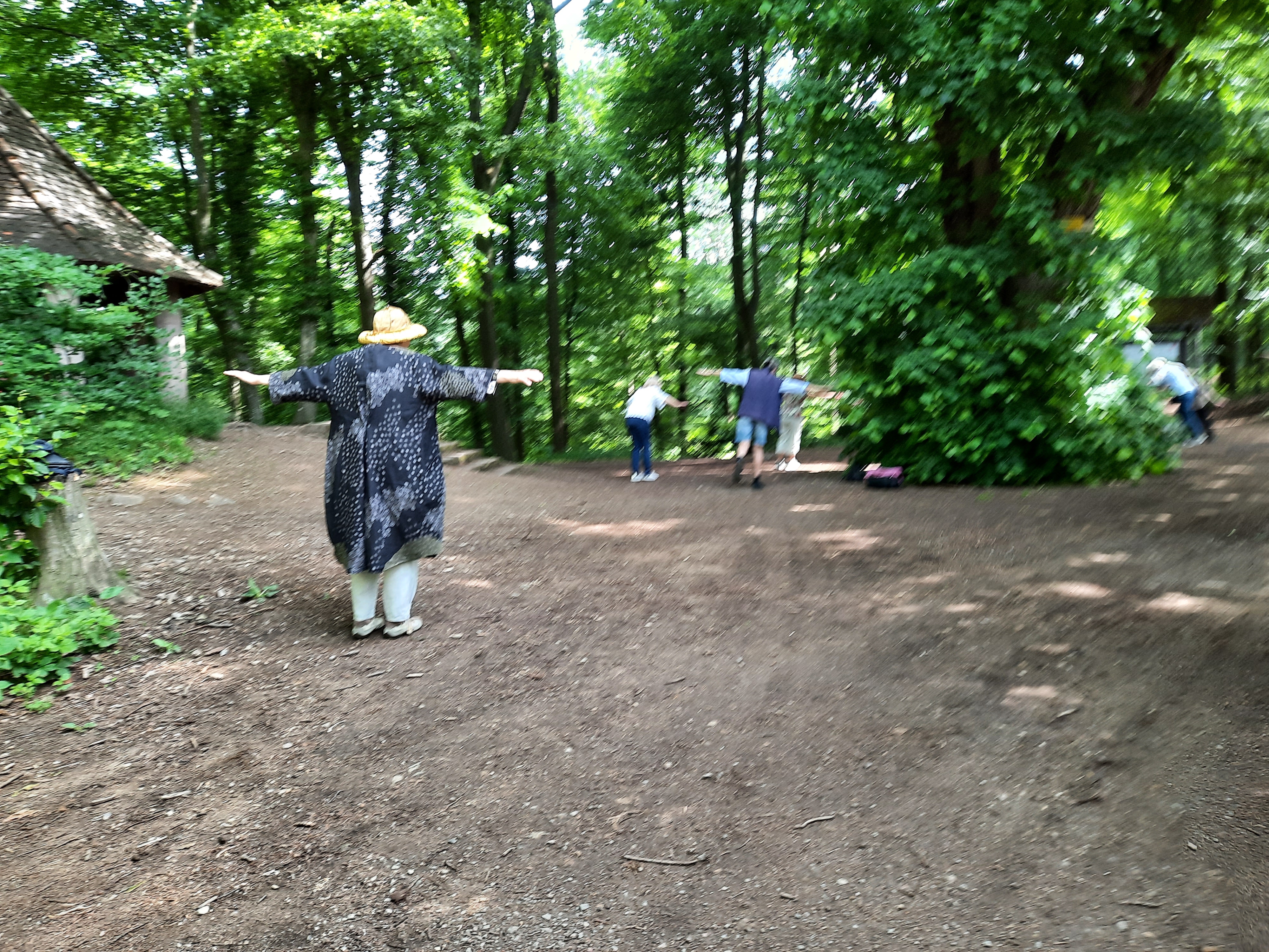
Past the bananas, higher up on the hill, we passed a mindful stretching class in the woods...


...as well as a calisthenics trail. E paused to obey the signs:


The Querweg is extremely well marked with blazes: a diamond, half white, half red, on a field of yellow.


We paused at St. Ottilien for some mediocre Kuchen. Carly came out of the backpack for--I confess--the first and only time so far on this trip, in order to greet a local chicken.


Elias, longtime collector of shiny things, was great at spotting interesting beetles.


I photographed this sign because Komoot told us to turn onto Ess Tea when-DELL-in ouegg. The British accent would have said WEEG instead of ouegg, so I considered this an improvement.  


We meandered our way down the hill to the flat Dreisam valley, which we followed past Stegen... 


...past--Warning--chickens at play...


...took a banana break near a lovely lone-hill-on-a-flat-spot...


...then continued into Buchenbach. May is stork nesting season. 


We took a right at the goats...


...and finally landed in Buchenbach, where we checked out the inside of the church St. Blasius (built 1898-1901)...


...and checked into our hotel, which was right on the Querweg. This was the view from our window:


After dinner, we walked to the next village to meet Stefan at the train station; walked back to the hotel to hang out for a bit; walked back to the train station to send Stefan off; and then walked back to the hotel for the night--which is how a 14-mile day becomes an 18-mile day.


 Ta da!